 |
Kingman, AZ to Victorville, CA
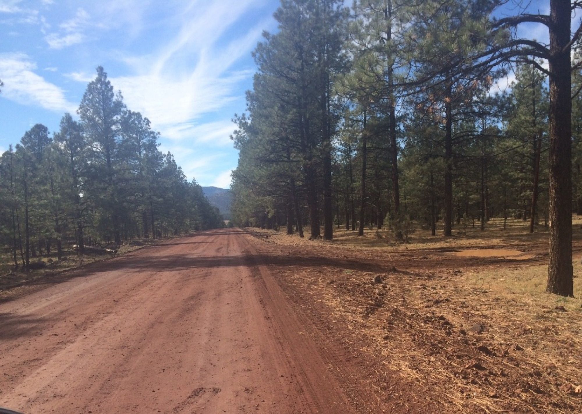
Daybreak in Kingman was cloudy and cold. It looked like rain even though none was forecast. We headed out on Route 66 (aka Andy Devine Ave. in Kingman) toward Oatman. As we left, the sun starting peeking out from the breaking clouds. The forecast was right–no rain.
OATMAN
Signs prohibited trucks from the Oatman Road, and there was a “turnaround” area for truckers who made the mistake of taking the route. At first the road was pretty nondescript–just another two-lane asphalt strip into the desert. Then the road moved out of the flat land and started up into the mountains. A sign said no center line for the next 12 miles.
Then the asphalt started a series of switchbacks along the edge of the mountain, and we understood the insistence of the signs prohibiting trucks. These turns were too sharp for a truck even at practically walking speed. Prudent driving meant I took the curves much slower than those alongside Oak Creek near Sedona yesterday, but it was still fun.
 We pretty much had the road to Oatman to ourselves. We saw no cars heading our direction, and two pickups and three dune buggies passed us heading the other way. We stopped a few minutes at the top, called Sitgreaves Pass. It was COLD.
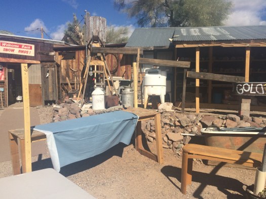
We then headed on 66 toward Oatman and a flashback to something between the 1960s and “The Road Warrior” series of films. Oatman, population 128, is an old gold mining town in the Black Mountains around the Mojave Desert in Arizona. It was very successful but now the main mining is from the pockets of tourists. Those who travel here can see an old, “Wild West” town close up (albeit with lots of tourists shops). They stage daily gunfights in the middle of Route 66 for the tourists/shoppers. It is crazy. Burros run wild and are protected by the federal government. Oatman also appears to be very popular with motorcyclists, who run wile and aren’t protected by the federal government.
If you read yesterday’s post, you will remember I was supposed to be on a conference call for work. The call was rescheduled to today; I dialed in from the sidewalks of Oatman. Here is a photo of my office for the morning. It was just outside the public
restrooms. And I can assure you, this was the posh real estate area of Oatman. The other participants on my conference call were from LA, Houston, New York, and London. (I kept quiet as to my location; it didn’t seem worth trying to explain my surroundings.)
I finished the call and met up with Marian, who shopped while I was slaving away at work. She found little she was interested in, but did purchase a $3 ice cream cone as sort of a levy for us parking in front of the ice cream establishment. We were heading out of town when we found more burros–or rather they found us. They stood on the roadway


and dared me to get past them. I went slow–didn’t covet the idea of being locked up for burro-slaughter in Oatman. Eventually they were distracted by a car full of people who wanted to feed them. This gave us our break and we finally got out of town.
NEEDLES (or, “Where Jim and Marian Learn Something New”)
 We headed down from Oatman to Topok, picked up I-40 there and exited at Needles CA, to get information, see the old town, and get back on the Old Road.
We got information all right.
We have maps of where various alignments of Route 66 were back in the day, but we also need current maps to help orient our present location to the old alignments. The best place to get those are the tourist information offices usually located near the state borders.
Signs in Needles pointed us toward a California tourism facility. We found an official-looking building that could have been it. But it had few windows, no signs, and a green-and-white symbol on the wall that we didn’t recognize.

Marian hopped out to check while I waited in the car. She quickly returned; she told me a sign said the building was open, but a large dog was standing alone in the entryway, barking ferociously. We decided to look for maps somewhere else. As we were backing up a kindly-looking gentleman with a very long pony-tail ran out of the building. He stopped us and apologized for his dog, saying he hoped we hadn’t been scared away. When we told him we were looking for the tourism facility, he pointed to another building a few blocks down the road. He explained the tourism facility used to be in his building, but they had moved several years ago.
I asked him what his business was. He said: “This is a medical cannabis dispensing facility with a growing room.”
We now know something new about the symbol on the wall. And we probably know where you can get some fresh, top-quality pot in Needles (if you have a prescription). As we left, we noticed a man on the roof of the pot building. Marian thinks he was a guard; I’m hoping he was working on the roof.
We found the tourism facility and the nice lady there, Myrna, was very helpful. She explained that one of the Route 66 routes we were planning to take was closed for bridge repair, and showed us on the map how we could bypass the closed portion.

We drove downtown Needles for a minute and saw the El Garces Hotel. This was originally built as the pride of the Fred Harvey chain, and served as a hotel and the train station for Needles. It is closed now but is being renovated by the group that own La Posada in Winslow. The El Garces looked very nice. I hope they make it. Here is a photo of the hotel from earlier times.
THE MOJAVE DESERT
We left Needles after gassing up. (Ouch! The gasoline taxes in California are truly outrageous.) To bypass the closed portion of Route 66, we drove I-40 and then turned left onto a two-lane blacktop road named Kelbaker Road. This is a 12-mile, mostly straight, all downhill road that tied into the old Route 66 (known here as the National Trails Highway).


Aside: Taking this route, we passed the Trilobite Wilderness Area, named for the extinct marine arthropods that form one of the earliest known groups of arthropods. (Another nod towards boyhood friend and real-life paleontologist Bil Mueller.)

After tying back into Route 66 outside of Amboy, we pulled over, turned off the motor, and just listened to the silence and a lonely wind that had to have been blowing when Route 66 was christened. We thought we heard a few deep “thuds” in the distance but it could have been our imagination.
We then went on to Amboy, a ghost town on Route 66. It has appeared in several movies, and apparently is now being maintained as a set for future films. General Patton trained his tank corps here before he left for the North African invasion. I’m sure there are signs around of his being here, but we didn’t see any.
This was truly difficult land for early travelers to pass. Desolate and beautiful at the same time, though I expect early travelers noticed the desolation more than the beauty.
We headed towards Ludlow, CA. In route we saw a concentrated area of smoke arising from the desert alongside a mountain. It didn’t look like fire, but we couldn’t figure out what it was. Ahead was a San Bernardino County Sheriff’s vehicle stopped along the road, so we pulled up and asked him what was going on. He said the area was a bombing range and it looked like the Navy or the Air Force was engaged in some practice. Loud practice.

On to Ludlow, where we picked up I-40 to Barstow, then south on I-15 to Victorville. Victorville is next door to Apple Valley, home (and resting place) of Roy Rogers and Dale Evans. See photo, from http://www.royrogers.com/lane-index.html, which bills itself as the Official Roy Rogers and Dale Evans Fan Club Site.
And that was enough mileage for one day. Happy trails to you, until we meet again. (Tomorrow.)
